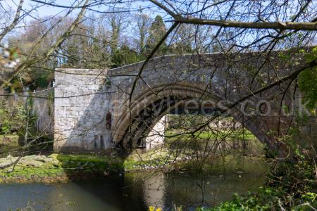
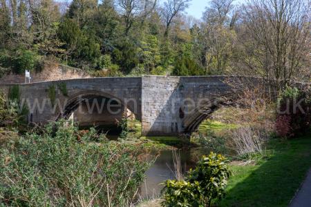
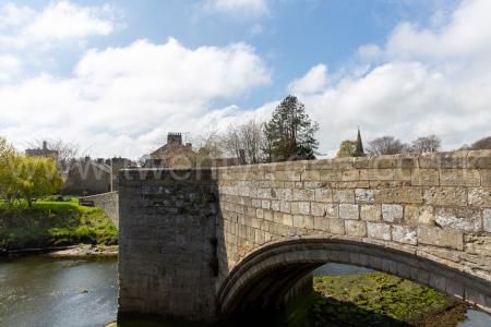
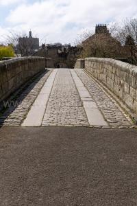
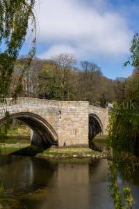
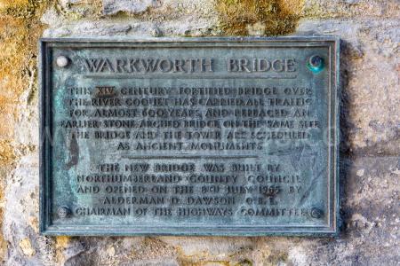
Around 1375. Warkworth Bridge [Map], constructed in the late 14th Century, spans the River Coquet at the bottom of the hill in Warkworth [Map] on which is located Warkworth Castle [Map]. The bridge is a mile from where the River Coquet flows into the North Sea. The bridge measures 43m long between land piers, with an overall length of 61m, by 3.5m wide between the parapet walls. The bridge, built of squared and coursed sandstone, has two segmental ribbed arches, each with a span of 18.4m. Documentary evidence records that John Cook of Newcastle, who died in 1378-9, left 20 marks towards the building of Warkworth Bridge on the condition it was built within two years.
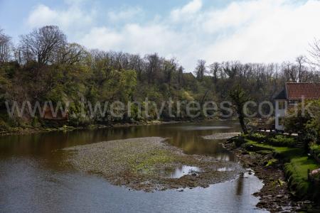
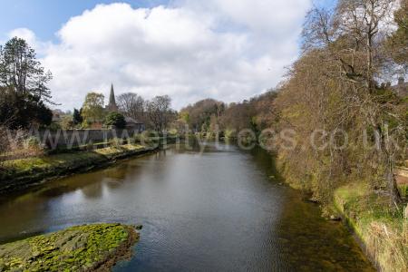
The River Coquet rises around Chew Green [Map] from where it flows past Makendon Northumberland [Map], Blindburn [Map], Barrow Burn [Map], Shillmoor [Map], Linshiels [Map], Alwinton [Map], Harbottle Castle [Map], Sharperton [Map], Holystone [Map], Hepple [Map], Thropton [Map], Rothbury [Map], Pauperhaugh [Map], Brinkburn Priory [Map], Weldon Bridge [Map], Felton [Map], Guyzance [Map] before passing under the bridge at Warkworth Bridge [Map] and reaching the North Sea at Amble [Map].