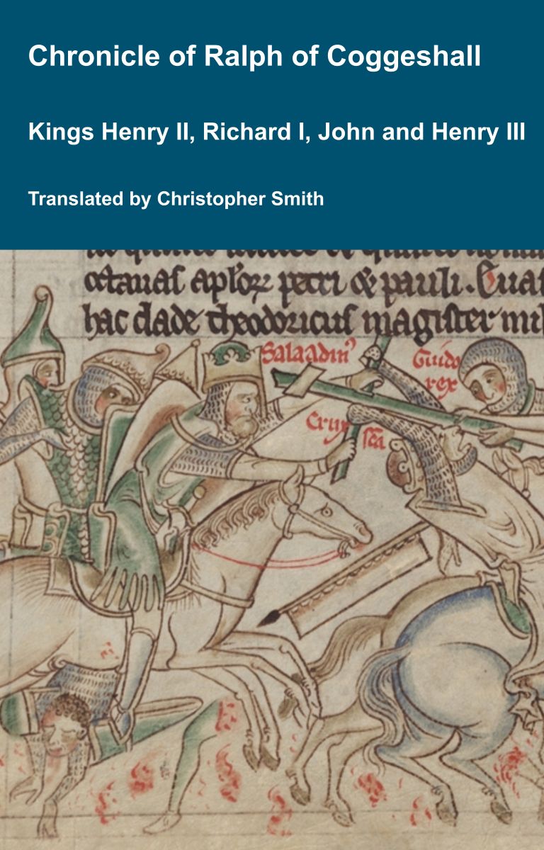
Chronicle of Abbot Ralph of Coggeshall
The Chronicle of Abbot Ralph of Coggeshall (Chronicon Anglicanum) is an indispensable medieval history that brings to life centuries of English and European affairs through the eyes of a learned Cistercian monk. Ralph of Coggeshall, abbot of the Abbey of Coggeshall in Essex in the early 13th century, continued and expanded his community’s chronicle, documenting events from the Norman Conquest of 1066 into the tumultuous reign of King Henry III. Blending eyewitness testimony, careful compilation, and the monastic commitment to record-keeping, this chronicle offers a rare narrative of political intrigue, royal power struggles, and social upheaval in England and beyond. Ralph’s work captures the reigns of pivotal figures such as Richard I and King John, providing invaluable insights into their characters, decisions, and the forces that shaped medieval rule. More than a simple annal, Chronicon Anglicanum conveys the texture of medieval life and governance, making it a rich source for scholars and readers fascinated by English history, monastic authorship, and the shaping of the medieval world.
Available at Amazon in eBook and Paperback format.
Stonehenge Avenue is in Stonehenge Monuments and Burials, South England Avenues, Stonehenge Late Neolithic Early Bronze Age.
See: Stonehenge Avenue 1 [Map], Stonehenge Avenue 2 [Map], Stonehenge Avenue 3 [Map], Stonehenge Avenue 4 [Map], Stonehenge Avenue 5 [Map], Stonehenge Avenue East End [Map], Stonehenge Avenue West End [Map], Stukeley's Eastern Beginning of the Avenue [Map].
2400BC. The Stonehenge Avenue [Map] is a 2.8km Avenue of two parallel ditches, about 20m apart, with banks on both sides that connects Stonehenge to the Wiltshire River Avon. It is neither straight or level. It descends from Stonehenge oriented to the angle of the Midsummer sunrise then turns towards the east continuing upslope after which it turns to the south east and descends to the Wiltshire River Avon. At the Stonehenge end there is a natural feature of chalk ridges whose orientation is on the midsummer sunrise / midwinter sunset which some believe may have been significant in the siting the monument.
Carbon Date. 1720BC. Middle Bronze Age Carbon Dates
Report: antler; from near the base of the ditch.
ID: 17862, C14 ID: HAR 2013 Date BP: 3720 +/- 70, Start Date BP: 3790, End BP: 3650
Abstract: Stonehenge: Avenue [Map]; 1976-77
Reference Name: Jordan, D, Haddon-Reece, D, Bayliss, A 1994 'Radiocarbon dates: from samples funded by English Heritage and dated before 1981', London: English Heritage
Council for British Archaeology (2012) Archaeological Site Index to Radiocarbon Dates from Great Britain and Ireland [data-set]. York: Archaeology Data Service [distributor] https://doi.org/10.5284/1017767
Carbon Date. 1678BC. Middle Bronze Age Carbon Dates
Report: Antler, from context C6, Avenue northern ditch [Map], Stonehenge terminal (C6) in primary silt, Phase 3 at Stonehenge, Wiltshire, England. Comment (subm): Date accepted as reliable; 2 sigma cal range given.
ID: 8078, C14 ID: BM-1164 Date BP: 3678 +/- 68, Start Date BP: 3610, End BP: 3746
OS Letter: SU, OS East: 123, OS North: 422
Archaeologist Name: (ed Cleal)
Reference Name: Cleal, R M J et al, 'Stonehenge in its landscape: 20th century excavations' (Engl Heritage Archaeol Rep, 10, 1995), 319, 323,??? 2, Table 64
Council for British Archaeology (2012) Archaeological Site Index to Radiocarbon Dates from Great Britain and Ireland [data-set]. York: Archaeology Data Service [distributor] https://doi.org/10.5284/1017767
Carbon Date. 1400BC. Late Bronze Age Carbon Dates
Report: Charcoal from hearth in Stone Floor (Late Neo assemblage 12m from Avenue ditch) at Stonehenge Avenue [Map], Wiltshire, England. Comment (lab): Preliminary (micro counter) result
ID: 8930, C14 ID: HAR-4878 Date BP: 3400 +/- 150, Start Date BP: 3250, End BP: 3550
OS Letter: ST, OS East: 122, OS North: 422
Archaeologist Name: M W Pitts
Reference Name: Proc Prehist Soc, 48, 1982, 75-132 esp 128 (date)
Council for British Archaeology (2012) Archaeological Site Index to Radiocarbon Dates from Great Britain and Ireland [data-set]. York: Archaeology Data Service [distributor] https://doi.org/10.5284/1017767
Carbon Date. 1020BC. Late Bronze Age Carbon Dates
Report: Antler from NE ditch just N of West Amesbury House (= Pd IV) at Stonehenge Avenue [Map], Wiltshire, England.
ID: 4503, C14 ID: BM-1079 Date BP: 3020 +/- 180, Start Date BP: 2840, End BP: 3200
OS Letter: SU, OS East: 141, OS North: 415
Archaeologist Name: I F Smith
Reference Name: Radiocarbon, 21, 1979, 341-2; Roy Comm Hist Monuments (England), 'Stonehenge and its Environs' (1979), 8 and 11; Proc Prehist Soc, 48, 1982, 75-132
Council for British Archaeology (2012) Archaeological Site Index to Radiocarbon Dates from Great Britain and Ireland [data-set]. York: Archaeology Data Service [distributor] https://doi.org/10.5284/1017767
Carbon Date. 750BC. Early Iron Age Carbon Dates
Report: Antler and bone, id as antler tine and two bovine scapulae, from primary chalk silt of both ditches (below Amesbury bypass) at Stonehenge Avenue [Map], Wiltshire, England.
ID: 4612, C14 ID: I-3216 Date BP: 2750 +/- 100, Start Date BP: 2650, End BP: 2850
OS Letter: SU, OS East: 123, OS North: 422
Archaeologist Name: L and F Vatcher (Hawley 1923)
Reference Name: Radiocarbon, 21, 1979, 341-2; Antiquity, 50, 1976, 239-40; R M Cleal et al, 'Stonehenge in its landscape' (1995) (rephasing)
Council for British Archaeology (2012) Archaeological Site Index to Radiocarbon Dates from Great Britain and Ireland [data-set]. York: Archaeology Data Service [distributor] https://doi.org/10.5284/1017767

Stonehenge by William Stukeley. Table XXIV. The back Prospect of the beginning of the Avenue [Map] to Stonehenge. A. the beginnings of the avenue. B. the old Kings barrows C. the 7 Kings barrows D. Vespasian's Camp [Map]. [Haradon Hill is speculatively identified as what is now known as Telegraph Hill [Map]] on which there are numerous tumuli.

Wessex from the Air Plates 39 and 40. The Stonehenge Avenue [Map].

Stonehenge by William Stukeley. Table XXX. Prospect of the west end of the Cursus of Stonehenge. A. The eastern meta [Map]. B. the eastern wing of the avenue [Map]. C. Stonehenge.
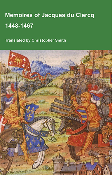
This is a translation of the 'Memoires of Jacques du Clercq', published in 1823 in two volumes, edited by Frederic, Baron de Reissenberg. In his introduction Reissenberg writes: 'Jacques du Clercq tells us that he was born in 1424, and that he was a licentiate in law and a counsellor to Philip the Good, Duke of Burgundy, in the castellany of Douai, Lille, and Orchies. It appears that he established his residence at Arras. In 1446, he married the daughter of Baldwin de la Lacherie, a gentleman who lived in Lille. We read in the fifth book of his Memoirs that his father, also named Jacques du Clercq, had married a lady of the Le Camelin family, from Compiègne. His ancestors, always attached to the counts of Flanders, had constantly served them, whether in their councils or in their armies.' The Memoires cover a period of nineteen years beginning in in 1448, ending in in 1467. It appears that the author had intended to extend the Memoirs beyond that date; no doubt illness or death prevented him from carrying out this plan. As Reissenberg writes the 'merit of this work lies in the simplicity of its narrative, in its tone of good faith, and in a certain air of frankness which naturally wins the reader’s confidence.' Du Clercq ranges from events of national and international importance, including events of the Wars of the Roses in England, to simple, everyday local events such as marriages, robberies, murders, trials and deaths, including that of his own father in Book 5; one of his last entries.
Available at Amazon in eBook and Paperback format.

Stonehenge by William Stukeley. Table XXVII. The Beginning of the Avenue [Map] to Stonehenge, where it is now Ploned up. A. The 7 Kings Barrows B. The Avenue going towards Stonehenge C. The 6 Old Kings Barrows.