Text this colour is a link for Members only. Support us by becoming a Member for only £3 a month by joining our 'Buy Me A Coffee page'; Membership gives you access to all content and removes ads.
Text this colour links to Pages. Text this colour links to Family Trees. Place the mouse over images to see a larger image. Click on paintings to see the painter's Biography Page. Mouse over links for a preview. Move the mouse off the painting or link to close the popup.
All About History Books
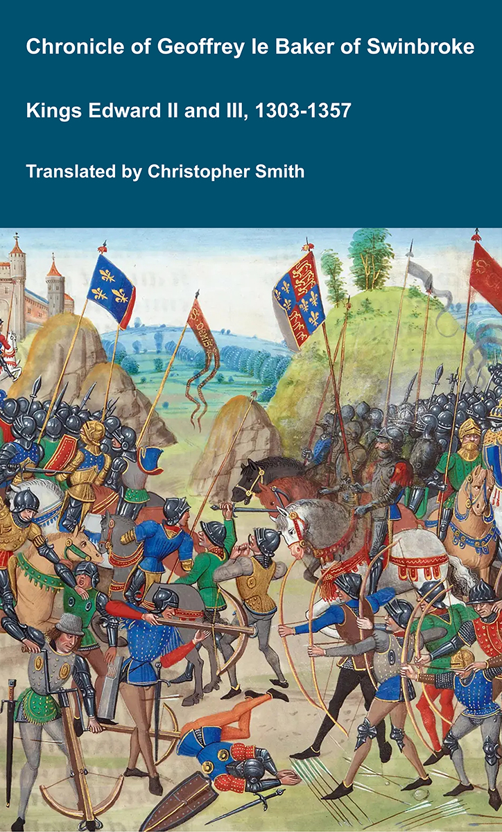
The Chronicle of Geoffrey le Baker of Swinbroke. Baker was a secular clerk from Swinbroke, now Swinbrook, an Oxfordshire village two miles east of Burford. His Chronicle describes the events of the period 1303-1356: Gaveston, Bannockburn, Boroughbridge, the murder of King Edward II, the Scottish Wars, Sluys, Crécy, the Black Death, Winchelsea and Poitiers. To quote Herbert Bruce 'it possesses a vigorous and characteristic style, and its value for particular events between 1303 and 1356 has been recognised by its editor and by subsequent writers'. The book provides remarkable detail about the events it describes. Baker's text has been augmented with hundreds of notes, including extracts from other contemporary chronicles, such as the Annales Londonienses, Annales Paulini, Murimuth, Lanercost, Avesbury, Guisborough and Froissart to enrich the reader's understanding. The translation takes as its source the 'Chronicon Galfridi le Baker de Swynebroke' published in 1889, edited by Edward Maunde Thompson. Available at Amazon in eBook and Paperback.
Roman Roads is in England.
Roman Roads are based on Ivan Margary's numbering scheme:
RM1: Watling Street
RM2: Ermine Street 2
RM4: Port Way
RM5: Fosse Way
RM8: Dere Street
RM32: Stane Street to Chichester.
RM53: Roman Road from Silchester to Bath
RM87: Devil's Causeway
![]() Become a Member via our 'Buy Me a Coffee' page to read complete text.
Become a Member via our 'Buy Me a Coffee' page to read complete text.
In Margery's scheme there are two Ermine Streets: Ermine Street 2 and Ermine Street 41.
Ermine Street 41b travels from Speen, Newbury [Map] through Baydon, Wiltshire [Map], Wanborough, Wiltshire [Map], Blunsdon St Andrew, Wiltshire [Map] to Cirencester, Gloucestershire [Map]. Whilst Margery's scheme doesn't say so, the road appears to continues from Cirencester, Gloucestershire [Map] to Gloucester [Map].
Ermine Street 41a travels from Silchester Roman Fort [Map] to Speen, Newbury [Map].
Margery 45a travels from Old Sarum [Map] to Winchester, Hampshire [Map], then known as Venta Belgarum, by way of Winterslow [Map] and Bossington [Map].
Welsh Border Road describes an unamed Roman Road, and unnumbered by Margery, that went from Caerleon [Map] to Wroxeter, Shropshire [Map], passing through Usk, Monmouthshire [Map], Abergavenny, Monmouthshire [Map], Hereford [Map], Mortimer's Cross, Herefordshire [Map], Wigmore, Herefordshire [Map] and Leintwardine Bridge, Herefordshire [Map] where it crosses the River Teme just after its convergence with the River Clun.