Text this colour links to Pages. Text this colour links to Family Trees. Text this colour are links that are disabled for Guests.
Place the mouse over images to see a larger image. Click on paintings to see the painter's Biography Page. Mouse over links for a preview. Move the mouse off the painting or link to close the popup.
All About History Books
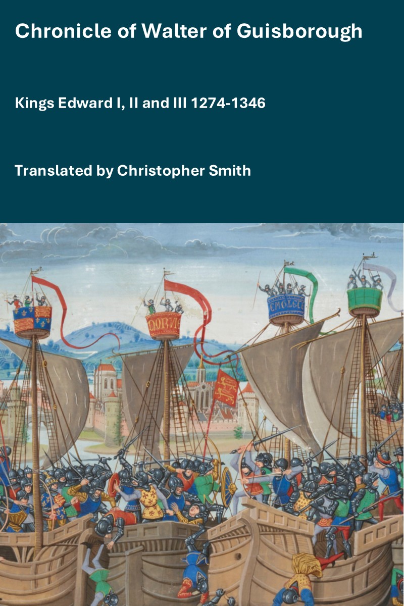
The Chronicle of Walter of Guisborough, a canon regular of the Augustinian Guisborough Priory, Yorkshire, formerly known as The Chronicle of Walter of Hemingburgh, describes the period from 1066 to 1346. Before 1274 the Chronicle is based on other works. Thereafter, the Chronicle is original, and a remarkable source for the events of the time. This book provides a translation of the Chronicle from that date. The Latin source for our translation is the 1849 work edited by Hans Claude Hamilton. Hamilton, in his preface, says: "In the present work we behold perhaps one of the finest samples of our early chronicles, both as regards the value of the events recorded, and the correctness with which they are detailed; Nor will the pleasing style of composition be lightly passed over by those capable of seeing reflected from it the tokens of a vigorous and cultivated mind, and a favourable specimen of the learning and taste of the age in which it was framed." Available at Amazon in eBook and Paperback.
Dere Street is in Roman Roads.
Dere Street is a Roman Road that ran from Eboracum aka York [Map] into Scotland. Its end in Scotland is unclear - it is believed it met the Antonine Wall.
Its name is possibly derived from Deira, which, with Bernicia, formed Northumberland.
Dere Street was, confusingly, up until the 1850s, referred to as Watling Street?
Culture, England, Roman Roads, Dere Street 1 ![]()
From Eboracum aka York [Map] Dere Street travels to Aldborough [Map], Leeming Bar, North Yorkshire [Map], Cataractonium [Map] aka Catterick, Piercebridge, County Durham [Map], Vinovia aka Binchester, County Durham [Map], on the banks of the River Wear, Ebchester, County Durham [Map], where it crosses the County Durham River Derwent, Corbridge Roman Fort, Northumberland [Map], where it, and crosses the River Tyne and Stanegate Roman Road began.
Culture, England, Roman Roads, Dere Street 2 ![]()
From Corbridge Roman Fort, Northumberland [Map] Dere Street continues north through Hunnum aka Onnum Roman Fort [Map], where it crosses Hadrian's Wall, Little Whittington, Northumberland [Map], Beukley, Northumberland [Map], Great Swinburne, Northumberland [Map], Fourlaws Roman Camp [Map], Habitancum Roman Fort [Map], Blakehope Roman Fort [Map], High Rochester, Northumberland [Map], Featherwood Roman Camps [Map], Chew Green Roman Camps [Map] where it crosses the River Coquet and into Scotland.
Culture, England, Roman Roads, Dere Street 3 ![]()
From Chew Green Roman Camps [Map] Dere Street crosses the Kale Water at Tow Ford, Roxburghshire [Map] where there is Roman Camp, Pennymuir Roman Fort [Map], Whitton Edge, Roxburghshire [Map], Cappuck Roman Fort [Map], Mounthooly, Roxburghshire [Map] where it crosses the River Teviot. After crossing the River Teviot it reaches St Boswells, Roxburghshire [Map] then Trimontium aka Melrose Roman Fort [Map] where it meets the River Tweed.