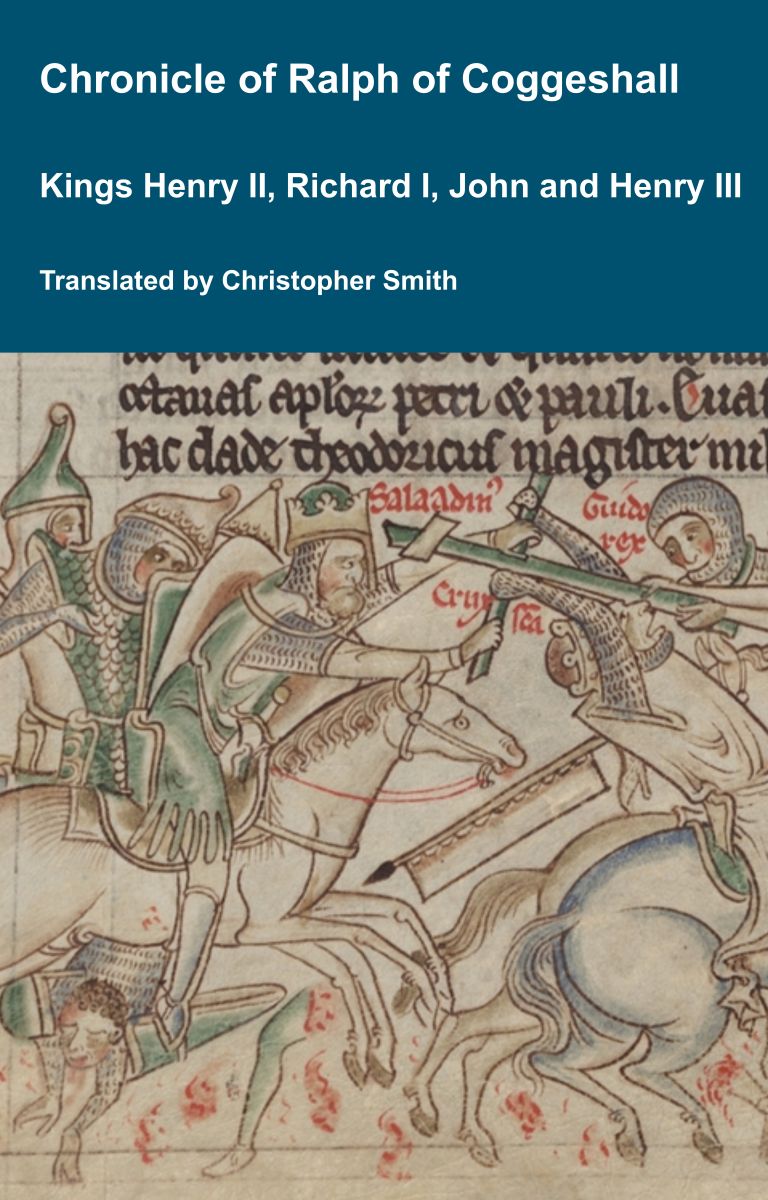
Chronicle of Abbot Ralph of Coggeshall
The Chronicle of Abbot Ralph of Coggeshall (Chronicon Anglicanum) is an indispensable medieval history that brings to life centuries of English and European affairs through the eyes of a learned Cistercian monk. Ralph of Coggeshall, abbot of the Abbey of Coggeshall in Essex in the early 13th century, continued and expanded his community’s chronicle, documenting events from the Norman Conquest of 1066 into the tumultuous reign of King Henry III. Blending eyewitness testimony, careful compilation, and the monastic commitment to record-keeping, this chronicle offers a rare narrative of political intrigue, royal power struggles, and social upheaval in England and beyond. Ralph’s work captures the reigns of pivotal figures such as Richard I and King John, providing invaluable insights into their characters, decisions, and the forces that shaped medieval rule. More than a simple annal, Chronicon Anglicanum conveys the texture of medieval life and governance, making it a rich source for scholars and readers fascinated by English history, monastic authorship, and the shaping of the medieval world.
Available at Amazon in eBook and Paperback format.
King Arthur's Round Table is in Eamont Bridge, Cumberland.
King Arthur's Round Table is a 90m diameter Henge with a ditch of around 16m. There appears to have been two original entrances.

1586. William Camden, Britain, or, a Chorographicall Description of the most flourishing Kingdomes, England, Scotland, and Ireland
18. Not much higher, and not farre from the confluence of Eimot and Loder, where is seene that round trench of earth which the country people tearme Arthurs Table, stands Penrith, which is, if you interpret it out of the British language, The red head or hill (for the soile and the stones there are of a redish colour), but commonly called Perith.
William Camden's plan of King Arthur's Round Table.

Results of the Excavation. Plate E. John Aubrey's copy of Dugdale's sketch of King Arthur's Round Table. The note reads "Out of William Digdale's Visitation of Cumberland in Herald's Office.
Avebury by William Stukeley. PENRITH. At the conflux of the rivers Louther and Eimont there is a remarkable curiosity, that illustrates the method of the religious solemnities of the old Britons, as much as any I have seen. Upon the edge of the Louther, where the bridge now passes it, is a delicate little plain, of an oblong form, bounded on the other slde by a natural declivity: this is used to this day for a country rendezvous, either for sports or military exercises, shooting with bows, &c. On this plain stands the antiquity commonly called King Arthur's Round Table, and suppofed to be used for tilts and tournaments: it is a circle inclosed with a ditch, and that with a vallum. At first sight we may see that it was intended for sports, but not on horseback, because much too little: the vallum on the outside lies sloping inward with a very gradual declivity, on purpose for spectators to stand around it; and it would hold at least 10,000 people. The outside of the vallum is pretty steep: it was high originally, as may be seen now in some parts; but it is worn down, as being by the side of the common road; and the inhabitants carry it away to mend the highways withal. There are two entrances into the area, north and south, or nearly so: one end is inclosed into a neighbouring pasture: the area had a circle within, somewhat higher in elevation than the other. The outer verge of the vallum is a circle of 300 foot: the composition of it is intirely coggles and gravel, dug out of the ditch. Upon part of the plain are marks of the tents of the Scots army, that accompanied King Charles II in his way to Worcester: they encamped here for some time, and drew a small line across part of the southern circle: this was done within memory.

1725. William Stukeley (age 37) sketched King Arthur's Round Table, Mayburgh Henge [Map] and Little Round Table.

1769. Pennant sketch of Mayburgh Henge [Map] and King Arthur's Round Table.

Cumbria and Westmorland Antiquarian and Archaeological Society. 1769. Plan of 1. Mayburgh Henge [Map], 2. King Arthur's Round Table and 3. Little Round Table and
An Excursion to the Lakes. From thence we went to view a place by the inhabitants called Arthur's round Table, near to Emont Bridge, and about half a mile from Penrith.—This is said to be of great antiquity, but there is no tradition, when, by whom, or for what purpose it was made.—It is cut in a little plain near the river, of an exact circular figure, fave to the eastern and western sides an approach is left to the common level of the plain: —the trench by which it is formed, is near ten paces wide; the soil which has been thrown up on the outward side making a kind of theatre: — the approaches are ten paces wide, and the whole circle within the ditch is one hundred and sixty paces in circumference. —We were induced to believe this was an ancient tilting ground, where justings had been held: the approaches seemed to answer for the career, and the circle appears sufficient for the champions to shew their dexterity in the use of the lance and horse-manship; the whole circus being capable of receiving a thousand spectators on the outer side of the ditch.—It is not probable that this was an intrenchment or fortified camp, it being too small for such purposes; and more particularly it is overlooked by an adjoining rising ground, from whence it might be annoyed by missile weapons. Another reason for the same opinion, given by a learned author, is, that the ditch is on the inner side.
The Beauties of England and Wales: Wiltshire and Westmoreland. At the south end of the village of Eamont, (vulgarly called Yeammon Bridge,) is ARTHUR'S ROUND-TABLE, a curious circle, consisting of a high dyke of earth, and a deep foss within, surrounding an area twenty-nine yards in diameter. It has two entrances exactly opposite to each other, and forming an uninterrupted: plane through the ditch from the outside of the table to its area. Some suppose it to have been designed for tilting matches, and that the champions entered at each opening1 others that it was a Roman amphitheaire.2 Richard, Duke of Gloucester, is still traditionally extolled in these parts for his great splendour and hospitality while he was governor of the neighbouring castle of Penrith, which induces Hutchinson to suppose this circus may have been in use as a tilting-ground in his time.3 On the adjoining plain are a larger ring, with low ramparts, and some smaller ones, at present scarcely visible, as if gymnastic exerscises, for which this county is still famous, had been practised in them. Circles, indeed, have been the theatres of contests in every age. In sudden quarrels the mob formed themselves into a ring, in which the parties settled the dispute by single combat
Considere duces et vulgi stante corona
Surgit ad hos, &c.
Note 1. Pennant's North Tour.
Note 2. Archaeologia, Vol. 5.
Note 3. His. of Cum. I. 310. [Note. Reference to An Excusion to the Lakes Page 91].
Cumbria and Westmorland Antiquarian and Archaeological Society. 2nd August 1882. ART. XLII.—On some Earthworks [King Arthur's Round Table, Little Round Table and Mayburgh Henge [Map]] near Eamont Bridge. By WM. Atkinson. Read at that place August 2nd, 1882.
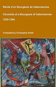
Chronicle of a Bourgeois of Valenciennes
Récits d’un bourgeois de Valenciennes aka The Chronicle of a Bourgeois of Valenciennes is a vivid 14th-century vernacular chronicle written by an anonymous urban chronicler from Valenciennes in the County of Hainaut. It survives in a manuscript that describes local and regional history from about 1253 to 1366, blending chronology, narrative episodes, and eyewitness-style accounts of political, military, and social events in medieval France, Flanders, and the Low Countries. The work begins with a chronological framework of events affecting Valenciennes and its region under rulers such as King Philip VI of France and the shifting allegiances of local nobility. It includes accounts of conflicts, sieges, diplomatic manoeuvres, and the impact of broader struggles like the Hundred Years’ War on urban life in Hainaut. Written from the perspective of a burgher (bourgeois) rather than a monastery or royal court, the chronicle offers a rare lay viewpoint on high politics and warfare, reflecting how merchants, townspeople, and civic institutions experienced the turbulence of the 13th and 14th centuries. Its narrative style combines straightforward reporting of events with moral and civic observations, making it a valuable source for readers interested in medieval urban society, regional politics, and the lived experience of war and governance in pre-modern Europe.
Available at Amazon in eBook and Paperback format.

Cumbria and Westmorland Antiquarian and Archaeological Society. THE ROUND TABLE.
Cumbria and Westmorland Antiquarian and Archaeological Society. 1891. Art. 16. — Mayburgh [Map] and King Arthur's Round Table. By C. W. Dymond, F.S.A.
Transactions of the Cumberland and Westmorland Antiquarian and Archaeological Society Volume 40 Pages 169 to 206. In 1938 Professor R. G. Collingwood produced, in these Transactions (xxxviii, 1-31), an Interim Report on the excavations of 1937 at King Arthur's Round Table. Illness prevented him from completing the task, and the final investigation was conducted by the writer, to whom it had been entrusted, between 10th July and 27th August, 1939. Eight workmen were employed throughout, while the experienced Mr. W. Cruddas of Greenhead acted again as foreman. Mrs. Spence undertook the task of Excavations Secretary and Guide, and superintended the filling-in during the anxious days preceeding the outbreak of war. Dr. J. E. Spence devoted the first week of his vacation to joint direction, while Miss M. Cross and Miss K. S. Hodgson gave voluntary help in the more delicate tasks. It was particularly useful to have Mrs. Collingwood's presence for a week during the excavation. Mr. Hay and Dr. Goodchild gave much valuable advice on geological problems. Mr. R. Morton Rigg, as during the first season, undertook the organisation of labour and tools most generously lent by the Penrith Urban District Council. Captain Anthony Lowther, on behalf of Lowther Estates Limited, kindly extended permission to excavate, with the consent of the tenant, Mr. W. Bainbridge of the Home Farm; while H.M. Office of Works authorised excavation of a scheduled monument, a visit being paid by Inspector P. K. Baillie-Reynolds. To all these helpers and to Major Porter, I offer heartiest thanks for their assistance. Among many visitors I had the pleasure of welcoming Messrs. Grahame Clark and J. F. Grimes. Finally three trenches were made through the so-called Little Round Table (see Appendix) and, in co-operation with H.M. Office of Works, the surviving standing-stone in the adjacent circle at Mayburgh [Map] was secured against collapse.