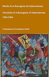
Chronicle of a Bourgeois of Valenciennes
Récits d’un bourgeois de Valenciennes aka The Chronicle of a Bourgeois of Valenciennes is a vivid 14th-century vernacular chronicle written by an anonymous urban chronicler from Valenciennes in the County of Hainaut. It survives in a manuscript that describes local and regional history from about 1253 to 1366, blending chronology, narrative episodes, and eyewitness-style accounts of political, military, and social events in medieval France, Flanders, and the Low Countries. The work begins with a chronological framework of events affecting Valenciennes and its region under rulers such as King Philip VI of France and the shifting allegiances of local nobility. It includes accounts of conflicts, sieges, diplomatic manoeuvres, and the impact of broader struggles like the Hundred Years’ War on urban life in Hainaut. Written from the perspective of a burgher (bourgeois) rather than a monastery or royal court, the chronicle offers a rare lay viewpoint on high politics and warfare, reflecting how merchants, townspeople, and civic institutions experienced the turbulence of the 13th and 14th centuries. Its narrative style combines straightforward reporting of events with moral and civic observations, making it a valuable source for readers interested in medieval urban society, regional politics, and the lived experience of war and governance in pre-modern Europe.
Available at Amazon in eBook and Paperback format.
North Kesteven is in Kesteven.
The River Witham rises near South Witham, South Kesteven [Map] from where it flows past North Witham, South Kesteven [Map], Colsterworth, South Kesteven [Map], Easton, South Kesteven [Map] to Great Ponton, South Kesteven [Map] where it is joined by the Cringle Brook.
From Great Ponton, South Kesteven [Map] the River Witham flows through Grantham [Map], Belton, Grantham [Map], past Barkston, South Kesteven [Map], Marston, South Kesteven [Map] and Hougham, South Kesteven [Map], Westborough, South Kesteven [Map], Long Benington, South Kesteven [Map], Claypole, South Kesteven [Map], Beckingham, North Kesteven [Map], Norton Disney, North Kesteven [Map], Bassingham, North Kesteven [Map], Haddington, North Kesteven [Map], Aubourn, North Kesteven [Map] through the centre of Lincoln, Lincolnshire [Map] where it joined by the River Till.
From Lincoln, Lincolnshire [Map] it flows under Five Mile Bridge [Map], past Bardney Abbey [Map], Kirkstead [Map], under Tattershall Bridge [Map] after which it is joined by the River Bain
After Tattershall the River Witham flows through canalised sections under Lanrick Bridge [Map], past Anton's Gowt [Map] to Boston [Map] where it is joined by the South Forty Foot Drain. After Boston [Map] the River Witham flows into the The Wash around eight kilometres away.
On 14th July 1841 Ellen Fenton [aged 96] died at Coleby, North Kesteven.
All Saints, Coleby [Map]
Monument to Mary Lister d.1734. Coleby Hall was built by the Listers in 1628. Kelly's Directory 1919 states "The Listers of Coleby filled the office of High Sheriff of Lincolnshire in the years 1624, 1625, 1644, 1669 and 1696, and Thomas Lister was in 1651 and 1653 a member of Cromwell's Council of State".

The South Forty Foot Drain aka Black Sluice is a man-made drain starting at Guthram Gowt [Map] that drains a large area of the Lincolnshire fen-land known as the Black Sluice Area aka Lindsey Level. The drain, or an early version of it was first constructed around 1635 when the Earl of Lindsey agreed with the Commissioners of Sewers for Lincolnshire to carry out drainage works which would make 150 km2 of land available for agricultural use. The South Forty Foot Drain drains the area bounded by Great Hale, North Kesteven [Map], Bourne, South Kesteven [Map], Pinchbeck [Map] and Boston [Map].
The River Witham rises near South Witham, South Kesteven [Map] from where it flows past North Witham, South Kesteven [Map], Colsterworth, South Kesteven [Map], Easton, South Kesteven [Map] to Great Ponton, South Kesteven [Map] where it is joined by the Cringle Brook.
From Great Ponton, South Kesteven [Map] the River Witham flows through Grantham [Map], Belton, Grantham [Map], past Barkston, South Kesteven [Map], Marston, South Kesteven [Map] and Hougham, South Kesteven [Map], Westborough, South Kesteven [Map], Long Benington, South Kesteven [Map], Claypole, South Kesteven [Map], Beckingham, North Kesteven [Map], Norton Disney, North Kesteven [Map], Bassingham, North Kesteven [Map], Haddington, North Kesteven [Map], Aubourn, North Kesteven [Map] through the centre of Lincoln, Lincolnshire [Map] where it joined by the River Till.
From Lincoln, Lincolnshire [Map] it flows under Five Mile Bridge [Map], past Bardney Abbey [Map], Kirkstead [Map], under Tattershall Bridge [Map] after which it is joined by the River Bain
After Tattershall the River Witham flows through canalised sections under Lanrick Bridge [Map], past Anton's Gowt [Map] to Boston [Map] where it is joined by the South Forty Foot Drain. After Boston [Map] the River Witham flows into the The Wash around eight kilometres away.
Around 1168 Thomas Darcy was born in Nocton, North Kesteven.
Around 1192 Norman Darcy was born to Thomas Darcy [aged 24] in Nocton, North Kesteven.
Around 1206 Thomas Darcy [aged 38] died in Nocton, North Kesteven.
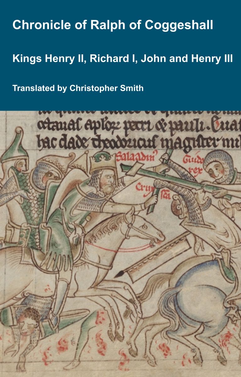
Chronicle of Abbot Ralph of Coggeshall
The Chronicle of Abbot Ralph of Coggeshall (Chronicon Anglicanum) is an indispensable medieval history that brings to life centuries of English and European affairs through the eyes of a learned Cistercian monk. Ralph of Coggeshall, abbot of the Abbey of Coggeshall in Essex in the early 13th century, continued and expanded his community’s chronicle, documenting events from the Norman Conquest of 1066 into the tumultuous reign of King Henry III. Blending eyewitness testimony, careful compilation, and the monastic commitment to record-keeping, this chronicle offers a rare narrative of political intrigue, royal power struggles, and social upheaval in England and beyond. Ralph’s work captures the reigns of pivotal figures such as Richard I and King John, providing invaluable insights into their characters, decisions, and the forces that shaped medieval rule. More than a simple annal, Chronicon Anglicanum conveys the texture of medieval life and governance, making it a rich source for scholars and readers fascinated by English history, monastic authorship, and the shaping of the medieval world.
Available at Amazon in eBook and Paperback format.
Around 1213 Philip Darcy was born to Norman Darcy [aged 21] in Nocton, North Kesteven.
In 1236 Norman Darcy was born to Philip Darcy [aged 23] in Nocton, North Kesteven.
Around 16th October 1254 Norman Darcy [aged 62] died in Nocton, North Kesteven.
In May 1264 Philip Darcy [aged 51] died in Nocton, North Kesteven.
On 6th January 1296 Norman Darcy [aged 60] died in Nocton, North Kesteven.
On 2nd December 1680 William Ellis [aged 71] died. He was buried at Nocton, North Kesteven where he has a monument attributed to William Stanton [aged 41].
William Ellis: In 1609 he was born.


The River Witham rises near South Witham, South Kesteven [Map] from where it flows past North Witham, South Kesteven [Map], Colsterworth, South Kesteven [Map], Easton, South Kesteven [Map] to Great Ponton, South Kesteven [Map] where it is joined by the Cringle Brook.
From Great Ponton, South Kesteven [Map] the River Witham flows through Grantham [Map], Belton, Grantham [Map], past Barkston, South Kesteven [Map], Marston, South Kesteven [Map] and Hougham, South Kesteven [Map], Westborough, South Kesteven [Map], Long Benington, South Kesteven [Map], Claypole, South Kesteven [Map], Beckingham, North Kesteven [Map], Norton Disney, North Kesteven [Map], Bassingham, North Kesteven [Map], Haddington, North Kesteven [Map], Aubourn, North Kesteven [Map] through the centre of Lincoln, Lincolnshire [Map] where it joined by the River Till.
From Lincoln, Lincolnshire [Map] it flows under Five Mile Bridge [Map], past Bardney Abbey [Map], Kirkstead [Map], under Tattershall Bridge [Map] after which it is joined by the River Bain
After Tattershall the River Witham flows through canalised sections under Lanrick Bridge [Map], past Anton's Gowt [Map] to Boston [Map] where it is joined by the South Forty Foot Drain. After Boston [Map] the River Witham flows into the The Wash around eight kilometres away.