River Ure
River Ure is in River Ouse.
The River Ure rises at Ure Head [Map] after which it over Aysgarth Falls [Map], past Middleham Castle [Map], Jervaulx Abbey [Map], St Nicholas Church, West Tanfield [Map], east of Ripon [Map], under the bridge at Boroughbridge [Map] after which it is joined by the River Swale to form the River Ouse.
1145. Jervaulx Abbey [Map] was the constructed after the monks moved to a location next to the River Ure from the less attractive location around ten miles away at of Fors upstream in the Ure Valley. Jervaulx is a version of "Ure Valley".
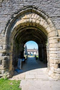
Around 1450. The Marmion Tower, West Tanfield [Map] is a 15th Century Gatehouse that was formerly the entrance to Tanfield Castle, the defended riverside house of Robert Marmion 3rd Baron Marmion.
Robert Marmion 3rd Baron Marmion:
In 1153 he was born to Robert Marmion 2nd Baron Marmion.
Before Oct 1181 Robert Marmion 3rd Baron Marmion succeeded 3rd Baron Marmion of Tamworth in Staffordshire Feudal.
Before 15 May 1218 Robert Marmion 3rd Baron Marmion was killed in a fight with the forces of Ranulf de Blondeville Gernon 6th Earl Chester 1st Earl Lincoln at Scrivelsby. His son Robert Marmion 4th Baron Marmion succeeded 4th Baron Marmion of Tamworth in Staffordshire Feudal.
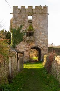
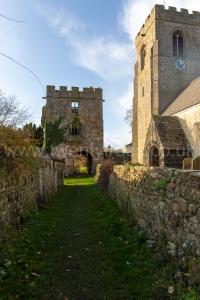
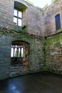
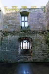
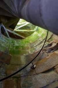
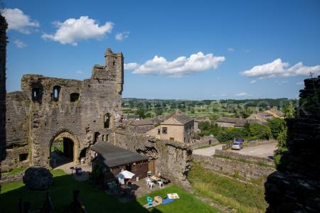
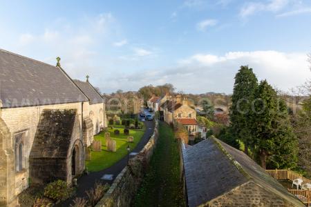 View from the Tower with the bridge over the River Ure top left.
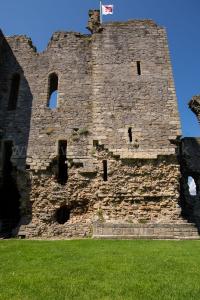
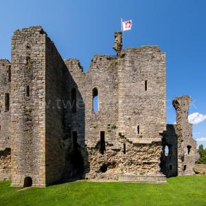
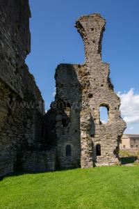
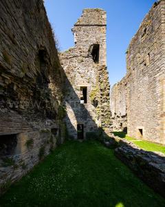
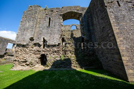
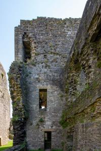
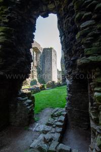
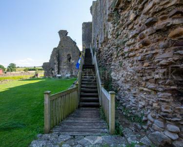
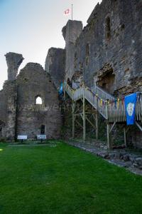
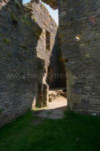
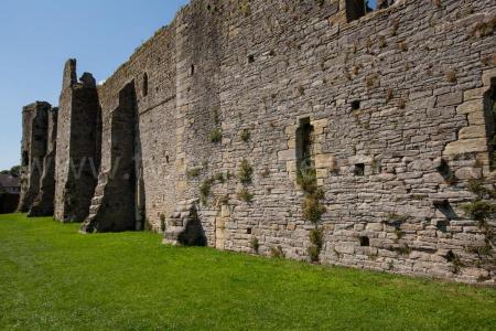
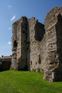
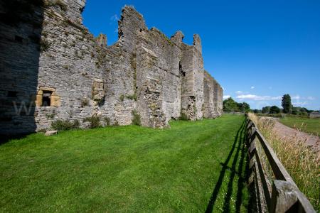
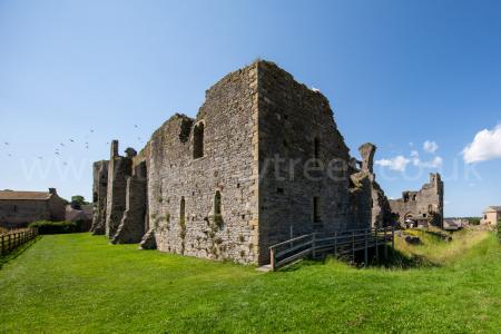
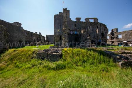
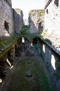
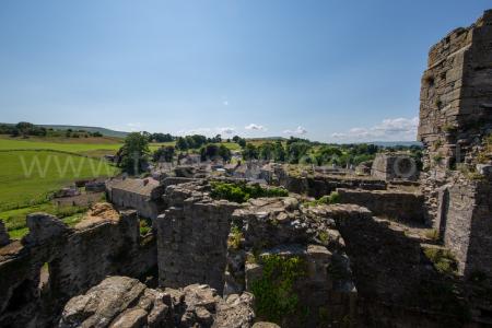
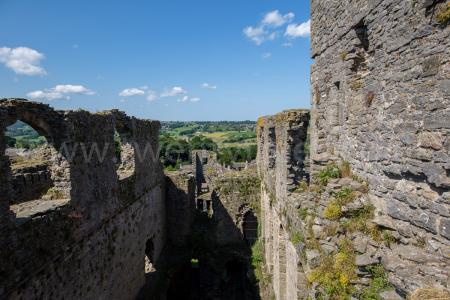
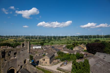
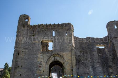
Middleham Castle [Map]. A Norman keep surrounded by a curtain wall around half a mile from the River Ure.
Culture, Rivers and River Systems in England and Wales, Humber Estuary, River Ouse, River Ure, River Skell
The River Skell rises around 3km north Pateley Bridge [Map] after which it travels broadly east past Fountains Abbey [Map], through Studley Royal Park [Map] and just south of Ripon [Map] before joining the River Ure 1.2 km east of Ripon [Map].