Text this colour is a link for Members only. Support us by becoming a Member for only £3 a month by joining our 'Buy Me A Coffee page'; Membership gives you access to all content and removes ads.
Text this colour links to Pages. Text this colour links to Family Trees. Place the mouse over images to see a larger image. Click on paintings to see the painter's Biography Page. Mouse over links for a preview. Move the mouse off the painting or link to close the popup.
River Ouse is in Humber Estuary.
The River Ouse is formed by the confluence of the River Ure and River Swale around 900m south-west of Myton-on-Swale [Map]; there are other theories as to where it starts. Thereafter it flows broadly south-east through York [Map], past Cawood, North Yorkshire [Map], Selby, North Yorkshire [Map], Goole [Map] and the location of the former Whitgift Ferry, East Yorkshire [Map] before joining the Humber Estuary at Trent Falls [Map].
The River Ouse appears to start at the Aldwark Toll Bridge [Map], or therabouts, before which it is known as the River Ure. It isn't clear why it changes its name? An alternative view is that the River Ouse begins at the Confluence of the Rivers Ure and Swale [Map].
On 3rd December 1614 brothers John Sheffield, Edmund Sheffield (age 25) and Philip Sheffield (age 21) were drowned whilst attempting to cross the flooded River Ouse at the Whitgift Ferry, East Yorkshire [Map].
The River Aire rises around Malham Tarn, North Yorkshire [Map] after which it travels broadley south-west past Skipton Castle [Map], Keighley, West Yorkshire [Map], Bingley [Map], Shipley, West Yorkshire [Map], Apperley Bridge, West Yorkshire [Map], Kirkstall Abbey, West Yorkshire [Map], Leeds [Map], Methley [Map], Castleford [Map], where it is joined by the River Calder, within 2km of All Saints Church, Ledsham [Map] then Brotherton [Map], Ferrybridge, where there was an historical crossing, Beal, North Yorkshire [Map], West Haddlesey, North Yorkshire [Map], Chapel Haddlesey, North Yorkshire [Map], Temple Hirst, North Yorkshire [Map], Snaith, East Yorkshire [Map], Rawcliffe, East Yorkshire [Map] before joining the River Ouse 800m north of Airmyn [Map].
The River Calder rises on Heald Moor near Todmorden [Map] after which it passes Hebden Bridge [Map], Mytholmroyd [Map], Sowerby Bridge [Map], Dewsbury [Map], Sandal Castle [Map], under Wakefield Bridge [Map] before joining the River Aire at Castleford [Map].
The River Don rises at Dunford Bridge [Map] after which it flows broadly east through Penistone [Map] then south through Oughtibridge [Map], Sheffield [Map] then east through Rotherham [Map], past Conisbrough Castle [Map], Doncaster [Map] and Stainforth [Map] before joining the River Ouse at Goole [Map]. Originally the River Don was a tributary of the River Trent forming the northern boundary of the Isle of Axholme [Map] but was re-engineered by Cornelius Vermuyden as the Dutch River in the 1620s.
Between 43AD and 68AD an earth and wood Roman fort was first built at Templeborough [Map]. It was later rebuilt in stone. It is thought to have been occupied until the Roman withdrawal from Britain c. 410. Icknield Street crossed the River Don near the fort.
The River Rother rises at Clay Cross, Derbyshire [Map] then flows through Chesterfield, Derbyshire [Map] and Sheffield [Map] after which it joins the River Don which then flows through Rotherham [Map] to which the River Rother gives its name.
All About History Books
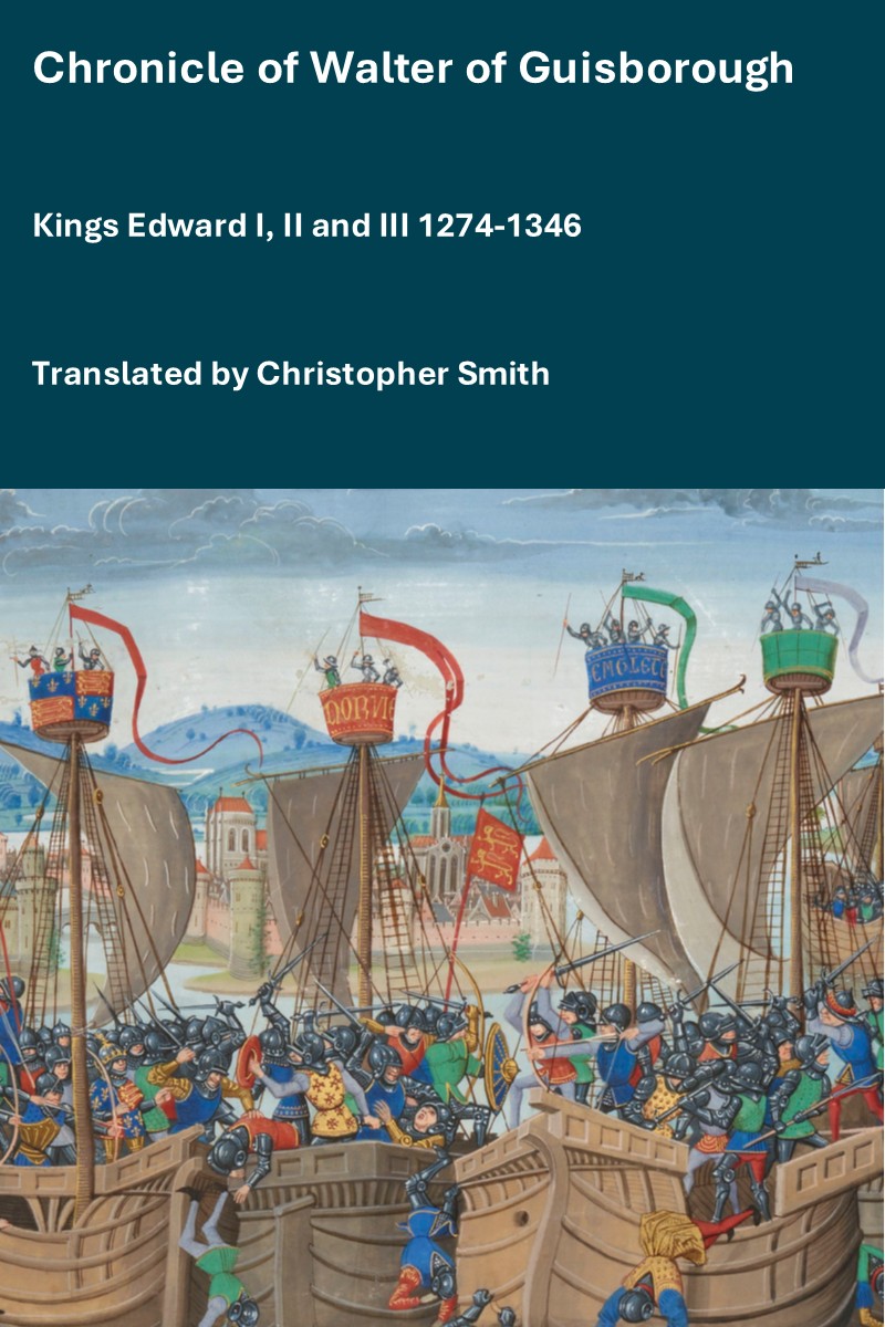
The Chronicle of Walter of Guisborough, a canon regular of the Augustinian Guisborough Priory, Yorkshire, formerly known as The Chronicle of Walter of Hemingburgh, describes the period from 1066 to 1346. Before 1274 the Chronicle is based on other works. Thereafter, the Chronicle is original, and a remarkable source for the events of the time. This book provides a translation of the Chronicle from that date. The Latin source for our translation is the 1849 work edited by Hans Claude Hamilton. Hamilton, in his preface, says: "In the present work we behold perhaps one of the finest samples of our early chronicles, both as regards the value of the events recorded, and the correctness with which they are detailed; Nor will the pleasing style of composition be lightly passed over by those capable of seeing reflected from it the tokens of a vigorous and cultivated mind, and a favourable specimen of the learning and taste of the age in which it was framed." Available at Amazon in eBook and Paperback.
The River Nidd rises at Nidd Head Spring, North Yorkshire [Map] after which it travels under Pateley Bridge, North Yorkshire [Map], then past Knaresborough Castle [Map] before joining the River Ouse at Nun Monkton, North Yorkshire [Map].
The River Swale rises on the moors at the top of the Birkdale [Map] after which it flows broadly east past Marrick Priory, North Yorkshire [Map], Ellerton Priory, North Yorkshire [Map], Richmond Castle, North Yorkshire [Map], under Catterick Bridge, North Yorkshire [Map], past Great Langton, North Yorkshire [Map], Moreton-on Swale, North Yorkshire [Map], Gatenby, North Yorkshire [Map], Maunby, North Yorkshire [Map], Holme, North Yorkshire [Map], Baldersby St James, North Yorkshire [Map], past Topcliffe Castle, North Yorkshire [Map], under Thornton Bridge [Map] to its confluence with the River Ure near Myton-on-Swale [Map].
Around 70AD a fort was commissioned at Cataractonium [Map] by Julius Agricola. During the first century a large bank was created north of the River Swale with an associated gate across Dere Street to control access.
The initial fort appears to have gone out of use by about AD 120 but there were further forts at the site during the next 300 years.
The River Wharfe rises on the moors above High Birkwith, North Yorkshire [Map] after which it travels broadly south past Kettlewell, North Yorkshire [Map], Grassington, North Yorkshire [Map], under the Hebden Suspension Bridge [Map], past Burnsall Craven [Map], Howgill, West Yorkshire [Map], under Barden Bridge, West Yorkshire [Map], through te The Strid, West Yorkshire, past Bolton Priory, North Yorkshire [Map] and Bolton Bridge, North Yorkshire [Map], then Ilkley, North Yorkshire [Map], Burley in Wharfedale, West Yorkshire [Map], Otley, West Yorkshire [Map], Harewood House [Map], Wetherby [Map] and Tadcaster, Yorkshire [Map], Kirkby Wharfe, West Yorkshire [Map], Rhyther, West Yorkshire [Map] before joining the River Ouse 1.25 Km north of Confluence of the Rivers Wharfe and Ouse [Map].