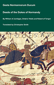
The Deeds of the Dukes of Normandy
The Gesta Normannorum Ducum [The Deeds of the Dukes of Normandy] is a landmark medieval chronicle tracing the rise and fall of the Norman dynasty from its early roots through the pivotal events surrounding the Norman Conquest of England. Originally penned in Latin by the monk William of Jumièges shortly before 1060 and later expanded at the behest of William the Conqueror, the work chronicles the deeds, politics, battles, and leadership of the Norman dukes, especially William’s own claim to the English throne. The narrative combines earlier historical sources with firsthand information and oral testimony to present an authoritative account of Normandy’s transformation from a Viking settlement into one of medieval Europe’s most powerful realms. William’s history emphasizes the legitimacy, military prowess, and governance of the Norman line, framing their expansion, including the conquest of England, as both divinely sanctioned and noble in purpose. Later chroniclers such as Orderic Vitalis and Robert of Torigni continued the history, extending the coverage into the 12th century, providing broader context on ducal rule and its impact. Today this classic work remains a foundational source for understanding Norman identity, medieval statesmanship, and the historical forces that reshaped England and Western Europe between 800AD and 1100AD.
Available at Amazon in eBook and Paperback format.