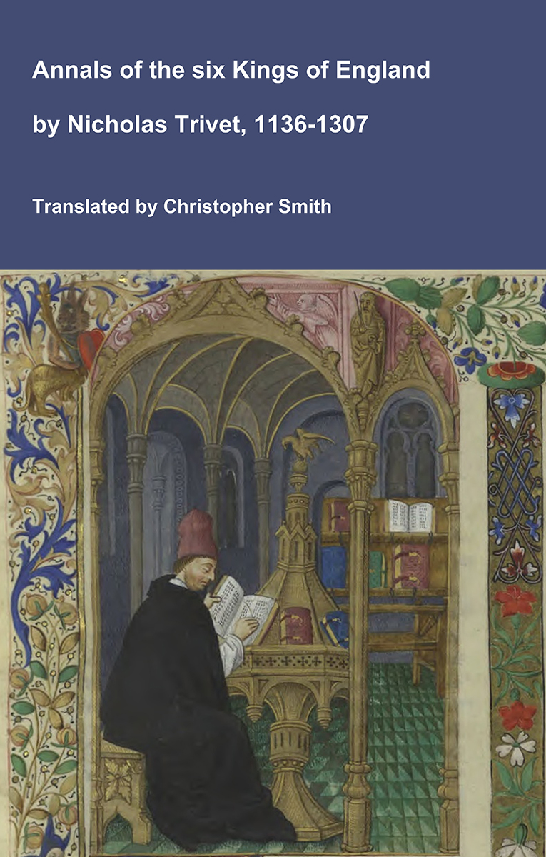
Annals of the six Kings of England by Nicholas Trivet
Translation of the Annals of the Six Kings of England by that traces the rise and rule of the Angevin aka Plantagenet dynasty from the mid-12th to early 14th century. Written by the Dominican scholar Nicholas Trivet, the work offers a vivid account of English history from the reign of King Stephen through to the death of King Edward I, blending political narrative with moral reflection. Covering the reigns of six monarchs—from Stephen to Edward I—the chronicle explores royal authority, rebellion, war, and the shifting balance between crown, church, and nobility. Trivet provides detailed insight into defining moments such as baronial conflicts, Anglo-French rivalry, and the consolidation of royal power under Edward I, whose reign he describes with particular immediacy. The Annals combines careful year-by-year reporting with thoughtful interpretation, presenting history not merely as a sequence of events but as a moral and political lesson. Ideal for readers interested in medieval history, kingship, and the origins of the English state, this chronicle remains a valuable and accessible window into the turbulent world of the Plantagenet kings.
Available at Amazon in eBook and Paperback format.
Downton Hundred, Wiltshire is in Wiltshire.
The River Eble rises around two kilometres west of Alvediston, Wiltshire [Map] through which it then flows, then Ebbesbourne Wake, Wiltshire [Map], Broad Chalke, Wiltshire [Map], Bishopstone, Wiltshire [Map], Stratford Tony, Wiltshire [Map], Coombe Bissett, Wiltshire [Map], Homington, Wiltshire [Map], Odstock, Wiltshire [Map] after which it joins the Wiltshire River Avon.
Clearbury Ring [Map] is a univallate Iron Age hillfort of two hectares occupying a prominent hilltop overlooking the valley of the River Avon. The rampart is well preserved and consisted of a single bank with a ditch outside it. The fort had a single entrance on the northwest side, consisting simply of a 10-metre (33 ft) wide gap with a causeway across the ditch.
The Wiltshire River Avon is formed from the confluence of the River Avon West, Wiltshire and River Avon East, Wiltshire one kilometre before Upavon, Wiltshire [Map] after which it flows broadly south past East Chisenbury, Wiltshire [Map], Enford, Wiltshire [Map], Fifield, Wiltshire [Map], Fittleton, Wiltshire [Map], Netheravon, Wiltshire [Map], Figheldean, Wiltshire [Map], Durrington Walls, around Amesbury, Wiltshire [Map] and past Amesbury Abbey, Wiltshire [Map], Wilsford, Wiltshire [Map], Great Durnford, Wiltshire [Map], Middle Woodford, Wiltshire [Map], Little Durnford, Wiltshire [Map], Old Sarum [Map], Stratford sub Castle, Wiltshire [Map], through Salisbury where it is joined by the River Nadder
After Salisbury the Wiltshire River Avon flows south in multiple channels past Longford Castle, Wiltshire [Map], after which it is joined by the River Eble, then Charlton-All-Saints, Wiltshire [Map], Downton, Wiltshire [Map], Breamore, Hampshire [Map], Burgate, Hampshire [Map], Fordingbridge, Hampshire [Map], Bickton, Hampshire [Map], Ibsley, Hampshire [Map], Ringwood, Hampshire [Map], Bistern, Hampshire [Map], Sopley, Hampshire [Map], Avon, Dorset [Map] and Christchurch, Dorset [Map] before reaching Christchurch Harbour where it joins the English Channel.
Wiltshire Archaeological Magazine 1913 V38 Pages 379-414. Downton. 2. [Downton Long Barrow aka Giant's Grave [Map]]. "Giant's Grave," S.E. of Clearbury Rings [Map]. Length about 150ft.; S. and N. This barrow does not appear to have been opened; there is a slight sinking at the larger end, possibly over a cist. The mound is a fine one, in excellent condition, and apparently never disturbed, although the ground round it has been cultivated. Ditches indistinct as a result of cultivation. O.M. 71 SE. Not shown by Hoare.
Wiltshire Archaeological Magazine 1913 V38 Pages 379-414. Knoyle, East, [1a.] [East Knoyle Long Barrow [Map]] N. of road from Willoughby Hedge to Amesbury, about | mile E. of the 18th milestone. Length? S.E. and N.W. No opening recorded. Now down to grass, but shows every sign of having been formerly under the plough for many years. Much spread about and levelled, and now very inconspicuous. Not marked on the OM., the oblong mound shown on the site being the remnant of a round barrow shown by Hoare, which has also suffered much under the plough. O.M. 63, NE.; A. W. I. Map of Stourton Station.