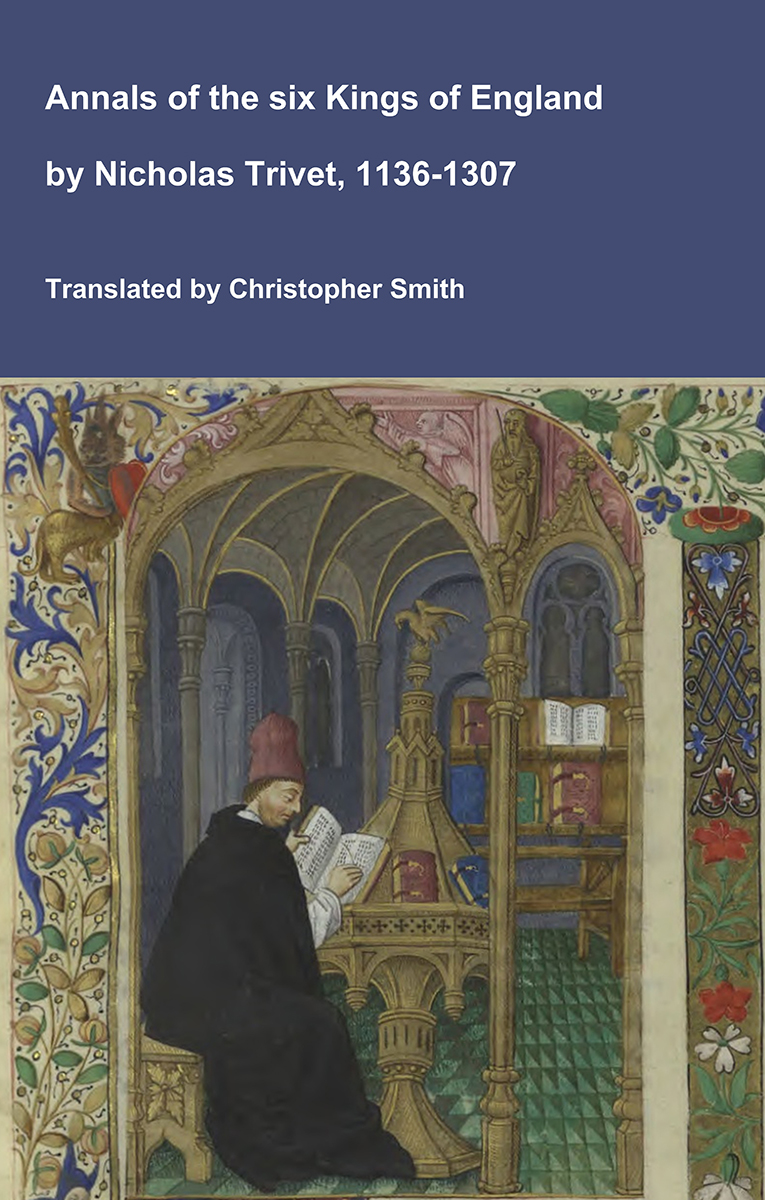
Annals of the six Kings of England by Nicholas Trivet

Translation of the Annals of the Six Kings of England by that traces the rise and rule of the Angevin aka Plantagenet dynasty from the mid-12th to early 14th century. Written by the Dominican scholar Nicholas Trivet, the work offers a vivid account of English history from the reign of King Stephen through to the death of King Edward I, blending political narrative with moral reflection. Covering the reigns of six monarchs—from Stephen to Edward I—the chronicle explores royal authority, rebellion, war, and the shifting balance between crown, church, and nobility. Trivet provides detailed insight into defining moments such as baronial conflicts, Anglo-French rivalry, and the consolidation of royal power under Edward I, whose reign he describes with particular immediacy. The Annals combines careful year-by-year reporting with thoughtful interpretation, presenting history not merely as a sequence of events but as a moral and political lesson. Ideal for readers interested in medieval history, kingship, and the origins of the English state, this chronicle remains a valuable and accessible window into the turbulent world of the Plantagenet kings.

Available at Amazon in eBook and Paperback format.

Sunderland Bridge, County Durham, North-East England, British Isles

Sunderland Bridge, County Durham is in County Durham.

St Bartholemew's Church, Sunderland Bridge, County Durham, North-East England, British Isles [Map]

After 20th April 1916. St Bartholemew's Church, Sunderland Bridge [Map]. Grave of 4617 Private William Dunn of the Durham Light Infantry. Died 20 April 1916. Son of Thomas and Jane Dunn. Born at Croxdale.

After 5th October 1916. St Bartholemew's Church, Sunderland Bridge [Map]. Grave of 13501 Private Herbert Bell of the Durham Light Infantry died 05 October 1916 aged twenty-seven. Son of the William and Margaret Bell. Born at Croxdale. Died of wounds at the East Leeds War Hospital, Beckett Park, Headingley.

Sunderland Bridge, County Durham, North-East England, British Isles [Map]

Sunderland Bridge [Map] originally carried the Great North Road (A1) across the River Wear, and probably dates back to the 14th century. It is built of dressed sandstone with four semicircular arches. The bridge has undergone several rebuilds, with the end arches being rebuilt in 1770, the parapets widened in 1822, and new end walls built in the 19th century.

The adjacent new bridge.

Initials of the builders of the 1769 rebuild.

One of the original mileposts now hidden in bushes.

Old Bridge House once a Coaching Inn.