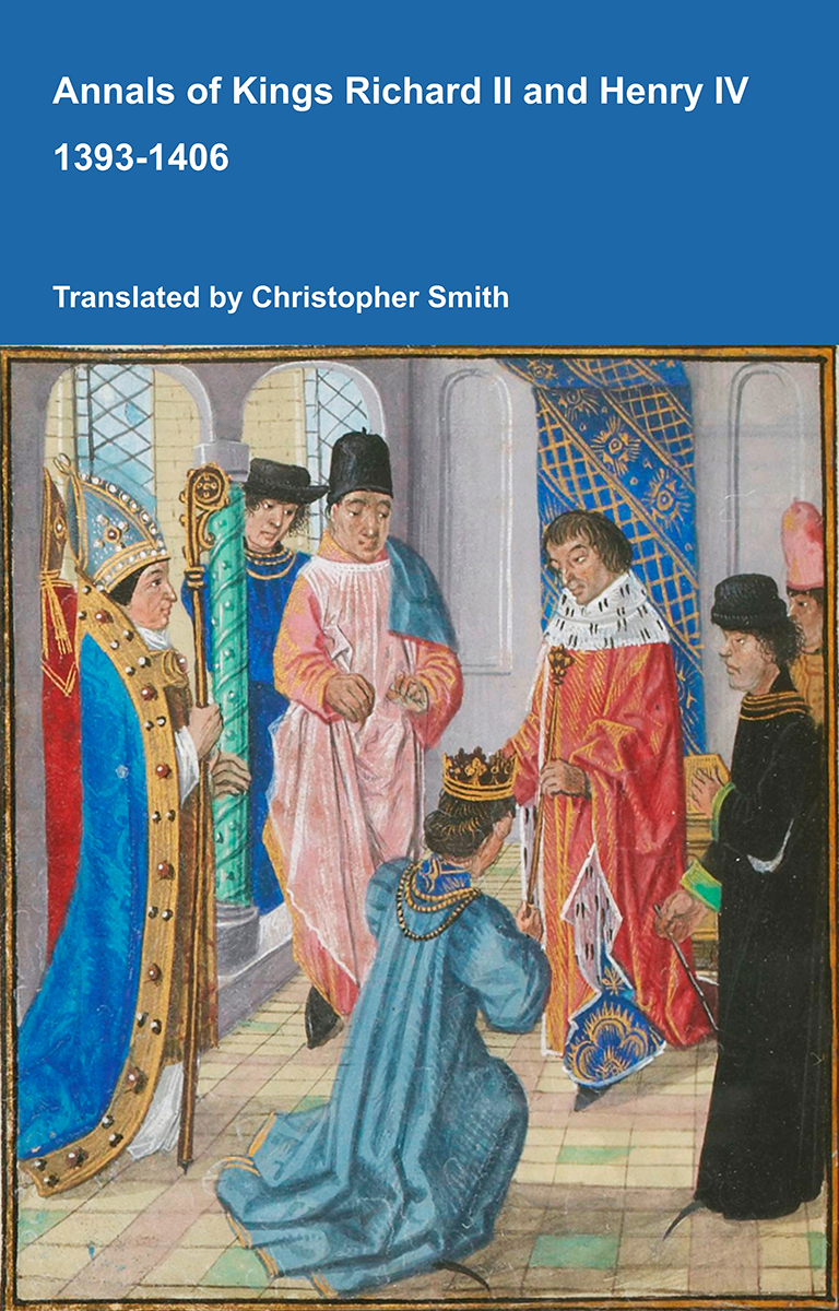
Annals of Kings Richard II and Henry IV 1393-1406
The Annals of Kings Richard II and Henry IV offers a vivid contemporary account of one of the most turbulent periods in late medieval England. Covering the reigns of Richard II and Henry IV, the chronicle records royal ceremonies, political conflict, rebellion, war, taxation, religious controversy, executions, popular unrest and remarkable portents. Its pages include a detailed description of Richard II’s coronation, the fall and deposition of the king, Henry IV’s seizure of the throne, the Percy rebellion, the execution of Archbishop Richard Scrope, the campaigns of Owain Glyndŵr, and England’s relations with Scotland, France, Portugal and Scandinavia. Alongside affairs of state, the annalist preserves reports of miracles, eclipses, prophecies, supernatural events and the experiences of ordinary townspeople, clergy, soldiers and travellers. Written from a monastic perspective, the work combines political observation with moral judgement, presenting victories and disasters as evidence of divine favour or punishment. At once a historical record and a reflection of medieval belief, the Annals provides an invaluable window into the challenges, ceremonies and conflicts of England at the turn of the fifteenth century.
Available at Amazon in eBook and Paperback format.


