Heytesbury Hundred, Wiltshire is in Wiltshire.
Around 1246 Hugh Giffard died at Boyton, Wiltshire [Map].
Before 20th May 1282 John Neville [aged 42] died at Boyton, Wiltshire [Map].
On 29th May 1299 John Giffard 1st Baron Giffard Brimpsfield [aged 67] died at his home in Boyton, Wiltshire [Map]. His son John [aged 11] succeeded 2nd Baron Giffard Brimpsfield. Aveline Courtenay Baroness Giffard Brimpsfield [aged 18] by marriage Baroness Giffard Brimpsfield.
Hugh Giffard was born to William Giffard at Boyton, Wiltshire [Map].
The River Wylye rises on the White Sheet Downs, Wiltshire [Map] from where it flows past Kingston Deverill, Wiltshire [Map], Monkton Deverill, Wiltshire [Map], Brixton Deverill, Wiltshire [Map], Hill Deverill, Wiltshire [Map], Longbridge Deverill, Wiltshire [Map], one kilometre south of Warminster, Wiltshire [Map], Bishopstrow, Wiltshire [Map], Norton Bavant, Wiltshire [Map], Heytesbury, Wiltshire [Map], Upton Lovell, Wiltshire [Map], Boyton, Wiltshire [Map], Sherrington, Wiltshire [Map], Codford St Mary, Wiltshire [Map], Fisherton de la Mere, Wiltshire [Map], Wylye, Wiltshire [Map], Steeple Langford, Wiltshire [Map] after which it is joined by the River Till at Sherrington, Wiltshire [Map].
Thereafter it flows around Great Wishford, Wiltshire [Map], South Newton, Wiltshire [Map] to Wilton, Wiltshire [Map] where it joins the River Nadder.

Archaeologia Volume 15 Section XXXIII. Archaeologia Volume 15 Plate XVI: 1. Boyton Barrow 2 [Map], 2. Boyton Down Long Barrow [Map], 3. Boyton Barrow 1 [Map], Corton Long Barrow [Map] South View,
Wiltshire Archaeological Magazine 1913 V38 Pages 379-414. Sherrington. 4. [Boyton Down Long Barrow [Map]] On the Boyton — Sherrington parish boundary, S. of Boyton Church, E. of Boyton Field Barn, on a conspicuous ridge of down. Length 150ft.; E. and W. No recorded opening. It is shown on Hoare's Map of Wylye Station (S. of the village of Boyton) as opened, but there seems to be no mention of it in the text. It is not included in Thurnam's list of long barrows opened by Hoare and Cunnington, and there is only an incidental mention of it in Wm. Cunnington's account of "Barrows opened on the Manors of Corton, Boyton, and Sherrington " (Arch. xv. 338) although a sketch of the barrow is given on Pl. XVI. fig. 2. Only the fringe and a few feet at the western end of the mound remain, but it must once have been a very fine barrow, and very conspicuously situated. The mound appears to have been wide and high for its length, the width at the east end being now 64ft. It stands on cultivated ground with no trace of the ditches above ground. Labourers on the spot stated that the material of the mound had been taken away from time to time to mend the adjacent trackway. O.M. 58 NE.; Arch. xv. 340, PL VI. fig. 2; A.W. I. Map of Wylye Station.
Wiltshire Archaeological Magazine 1872 V13 Pages 339-342. Dr. Thurnam began by observing that the Barrow on and around which those present were now standing, though placed in the centre of the British encampment, popularly known as Bratton Castle [Map] is probably of much earlier date, and has none but an accidental connection with that earthwork. It is a Long Barrow of large size, measuring 230 feet in length, lies east and west; and was opened by Dr. Thurnam in 1866. It belongs to the class of Long Barrows, a form of tumulus which differs essentially from the much more numerous Round Barrows, by which, on the Wiltshire Downs, they are everywhere surrounded. These latter, the Round Barrows, much more commonly than otherwise — at least three times as often — contain interments of burnt bodies, often accompanied by bronze weapons or implements,and especially bronze knives or daggers, and by ornaments of glass, amber, jet or shale, and gold. Sometimes there are flint and other stone implements, but these are all of a kind known to have been in use at the same time as those of bronze. The Round Barrows belong, essentially, and as a rule, to the Bronze Age of this country, and to an age of burning the dead. When the interment is that of the unburnt body — which, in Wiltshire, is less than one in four — the body has been buried with the knees bent and drawn up towards the chest. That the burnt and unburnt interments are of one and the same period is proved by the similarity, or rather identity, of the accompanying implements and ornaments.
Wiltshire Archaeological Magazine 1913 V38 Pages 379-414. Bratton. 1. [Bratton Long Barrow [Map]] In Bratton Camp. Length 230ft. (Thurnam); E. and W. Opened by Wm. Cunnington, who found a secondary burial of three skeletons near the top of the larger end, but failed to find the primary one. Thurnam, who re-opened it in 1866, seems to have found the primary burial on the floor of the barrow, consisting of "a heap of imperfectly burnt, or rather charred, human bones, apparently those of one or two adults"1 This barrow is now a rather unshapely heap and much cut about; the mound is not ploughed but it stands on cultivated ground and all trace of the ditches is obliterated. O.M. 45, NW.; A.W. I. 55; Arch. XLII. 180, 192; W.A.M. XIII. 341.
Note 1. In Gough's Camden I. 146 it is said that "many human bones mixed vith stag's horns, fragments of urns, and pieces of iron weapons, and mill-stones," have been found "under the mound."
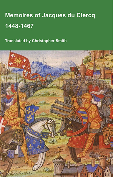
This is a translation of the 'Memoires of Jacques du Clercq', published in 1823 in two volumes, edited by Frederic, Baron de Reissenberg. In his introduction Reissenberg writes: 'Jacques du Clercq tells us that he was born in 1424, and that he was a licentiate in law and a counsellor to Philip the Good, Duke of Burgundy, in the castellany of Douai, Lille, and Orchies. It appears that he established his residence at Arras. In 1446, he married the daughter of Baldwin de la Lacherie, a gentleman who lived in Lille. We read in the fifth book of his Memoirs that his father, also named Jacques du Clercq, had married a lady of the Le Camelin family, from Compiègne. His ancestors, always attached to the counts of Flanders, had constantly served them, whether in their councils or in their armies.' The Memoires cover a period of nineteen years beginning in in 1448, ending in in 1467. It appears that the author had intended to extend the Memoirs beyond that date; no doubt illness or death prevented him from carrying out this plan. As Reissenberg writes the 'merit of this work lies in the simplicity of its narrative, in its tone of good faith, and in a certain air of frankness which naturally wins the reader’s confidence.' Du Clercq ranges from events of national and international importance, including events of the Wars of the Roses in England, to simple, everyday local events such as marriages, robberies, murders, trials and deaths, including that of his own father in Book 5; one of his last entries.
Available at Amazon in eBook and Paperback format.
On 3rd May 1602 Thomas Hungerford was born to John Hungerford [aged 44] at Bremhill, Wiltshire.
On 31st March 1636 John Hungerford [aged 16] died at Bremhill, Wiltshire.
On 31st March 1636 John Hungerford [aged 78] died at Bremhill, Wiltshire.
In 1637 George Hungerford was born to Edward Hungerford at Bremhill, Wiltshire. He married 5th April 1665 Frances Seymour, daughter of Charles Seymour 2nd Baron Seymour of Trowbridge and Mary Smith.
In May 1712 George Hungerford [aged 75] died at Bremhill, Wiltshire.
In 1525 Dorothy Wroughton was born to William Wroughton of Broad Hinton [aged 15] at Broad Hinton, Wiltshire. She married 1556 John Thynne and had issue.
Around 1492 Edward Bayntun was born to John Bayntun of Bromham at Bronham, Wiltshire. He married 1. before 1505 Elizabeth Sulyard and had issue 2. 18th January 1531 Isabel Leigh and had issue.
Wiltshire Archaeological Magazine 1913 V38 Pages 379-414. Knook. 5.. [Knook Castle Long Barrow [Map]] On Knook Down, NE. of "Knook Barrow," E. of Bowl's Barrow, and N. of " Old Ditch." Length 78ft; E. and W. Opened in 1801. Under the usual stratum of black earth three skeletons were found near the E. end, and a little to the W. of these another skeleton. This barrow stands on uncultivated down and is in fair condition. It is a small mound, flat, low, and broad; the ditches are fairly well defined. O.M. 52 NE.; A. W. I. 86; Arch. xlii. 180. Referred to by Thurnam as "Knook b."
Wiltshire Archaeological Magazine 1913 V38 Pages 379-414. Knook. 2. "Knook Barrow [Map]," on Knook Down, E. of the "British Village." Length 90ft. (Hoare); a recent measurement 100ft.; nearly N. and S. Opened by Wm. Cunnington 1801 — 2, when he found under a heap of flint and marl stones, and on a pavement of flints, a number of charred human and other animal bones, and charred wood; the bones seemed to be those of seven or eight individuals. A secondary burial of four headless skeletons was also found near the centre of the mound, at a depth of about 18in. The barrow was reopened by Thurnam without further result. This barrow stands on uncultivated down land and is in fair condition, but with some rabbits in it; the ditches are distinct. O.M. 52 NE.; A. W. I. 83; Arch. xlii. 180, 192; xv. 345. This is the barrow referred to by Thurnam as " Knook a."
The River Wylye rises on the White Sheet Downs, Wiltshire [Map] from where it flows past Kingston Deverill, Wiltshire [Map], Monkton Deverill, Wiltshire [Map], Brixton Deverill, Wiltshire [Map], Hill Deverill, Wiltshire [Map], Longbridge Deverill, Wiltshire [Map], one kilometre south of Warminster, Wiltshire [Map], Bishopstrow, Wiltshire [Map], Norton Bavant, Wiltshire [Map], Heytesbury, Wiltshire [Map], Upton Lovell, Wiltshire [Map], Boyton, Wiltshire [Map], Sherrington, Wiltshire [Map], Codford St Mary, Wiltshire [Map], Fisherton de la Mere, Wiltshire [Map], Wylye, Wiltshire [Map], Steeple Langford, Wiltshire [Map] after which it is joined by the River Till at Sherrington, Wiltshire [Map].
Thereafter it flows around Great Wishford, Wiltshire [Map], South Newton, Wiltshire [Map] to Wilton, Wiltshire [Map] where it joins the River Nadder.
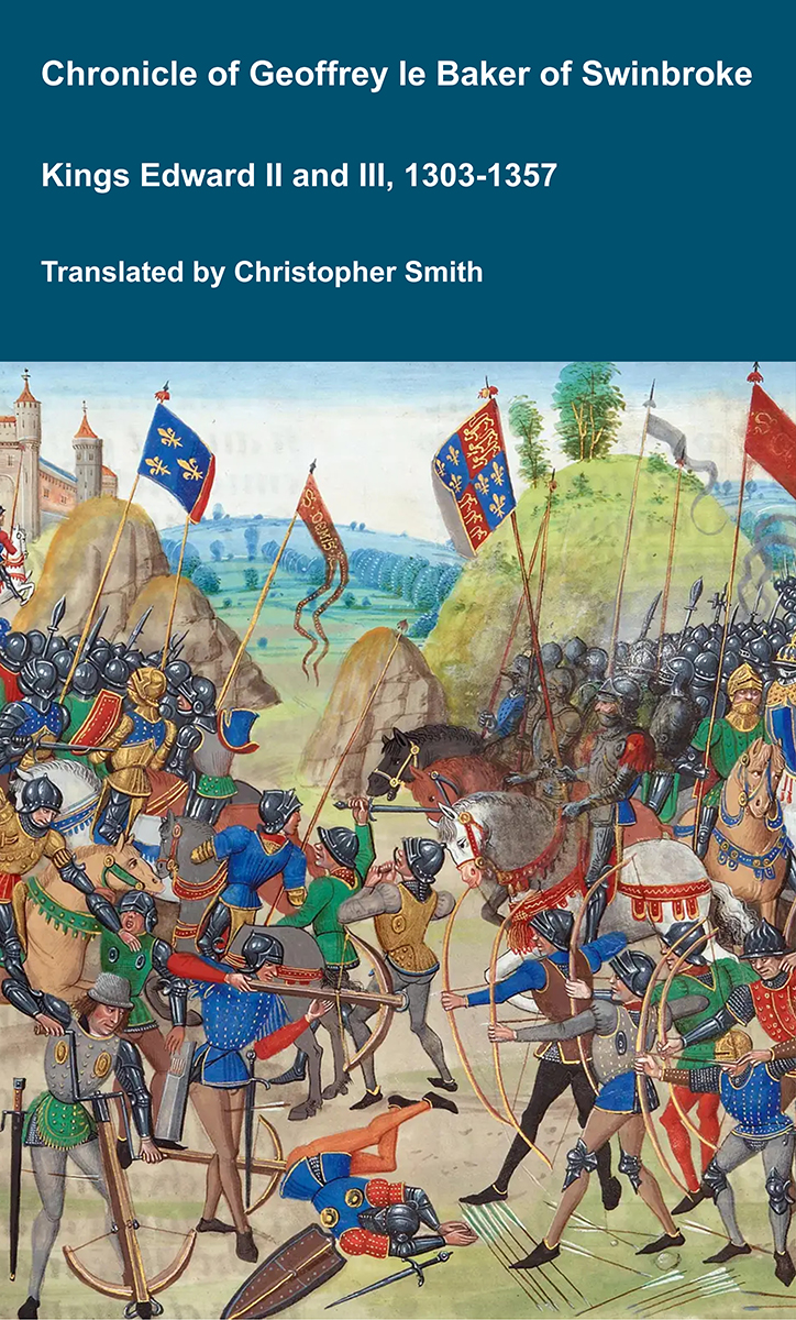
Chronicle of Geoffrey le Baker of Swinbroke
Baker was a secular clerk from Swinbroke, now Swinbrook, an Oxfordshire village two miles east of Burford. His Chronicle describes the events of the period 1303-1356: Gaveston, Bannockburn, Boroughbridge, the murder of King Edward II, the Scottish Wars, Sluys, Crécy, the Black Death, Winchelsea and Poitiers. To quote Herbert Bruce 'it possesses a vigorous and characteristic style, and its value for particular events between 1303 and 1356 has been recognised by its editor and by subsequent writers'. The book provides remarkable detail about the events it describes. Baker's text has been augmented with hundreds of notes, including extracts from other contemporary chronicles, such as the Annales Londonienses, Annales Paulini, Murimuth, Lanercost, Avesbury, Guisborough and Froissart to enrich the reader's understanding. The translation takes as its source the 'Chronicon Galfridi le Baker de Swynebroke' published in 1889, edited by Edward Maunde Thompson.
Available at Amazon in eBook and Paperback format.
Fosse Way. After Batheaston the Fosse Way continues along Bannerdown Road [Map] where it curves around Solsbury Hill, Somerset [Map] to reach the high ground where the road straightens out passing Three Shires Stone [Map], Fosse Gate, Wiltshire [Map], crossing the Gloucestershire River Avon 1.2km south-west of Easton Grey [Map] before reaching the Cotswold Airport, Gloucestershire [Map] after which it travels to Corinium Dobunnorum [Map] aka Cirencester.
The River Wylye rises on the White Sheet Downs, Wiltshire [Map] from where it flows past Kingston Deverill, Wiltshire [Map], Monkton Deverill, Wiltshire [Map], Brixton Deverill, Wiltshire [Map], Hill Deverill, Wiltshire [Map], Longbridge Deverill, Wiltshire [Map], one kilometre south of Warminster, Wiltshire [Map], Bishopstrow, Wiltshire [Map], Norton Bavant, Wiltshire [Map], Heytesbury, Wiltshire [Map], Upton Lovell, Wiltshire [Map], Boyton, Wiltshire [Map], Sherrington, Wiltshire [Map], Codford St Mary, Wiltshire [Map], Fisherton de la Mere, Wiltshire [Map], Wylye, Wiltshire [Map], Steeple Langford, Wiltshire [Map] after which it is joined by the River Till at Sherrington, Wiltshire [Map].
Thereafter it flows around Great Wishford, Wiltshire [Map], South Newton, Wiltshire [Map] to Wilton, Wiltshire [Map] where it joins the River Nadder.